
-
Laser Scanning/Point Cloud
Do you need help with your project?
Add to the RTC Adventure!…
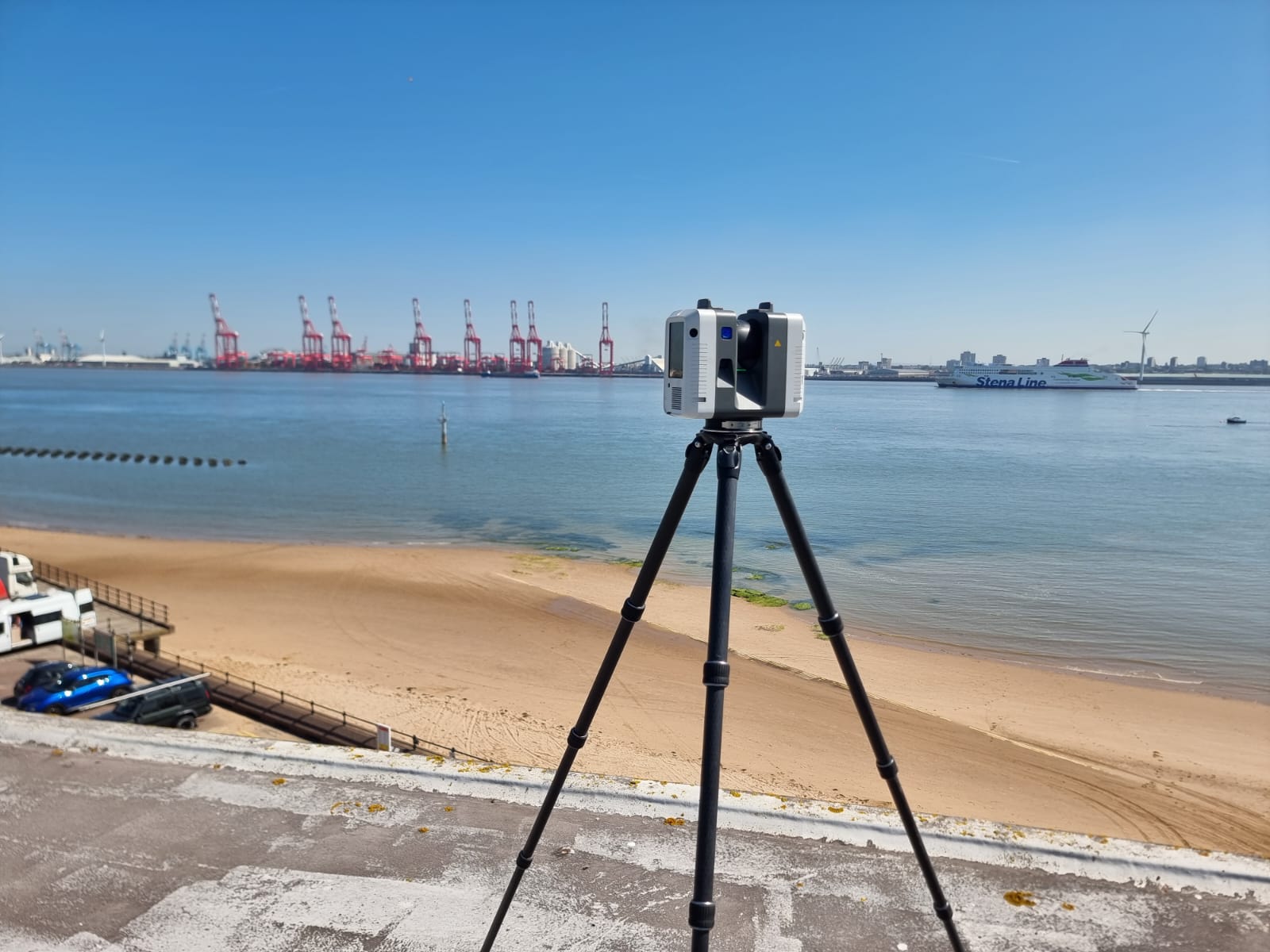
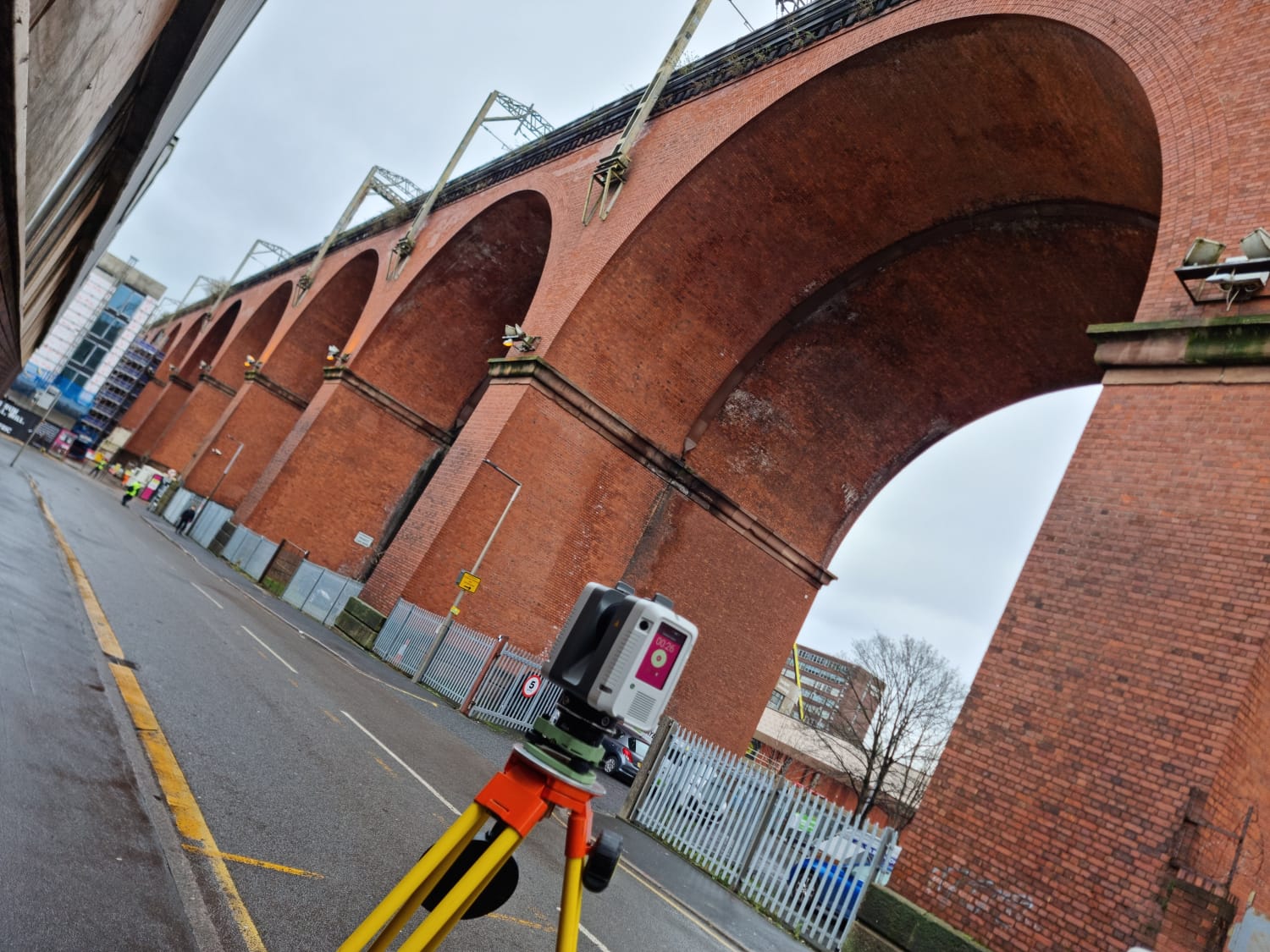
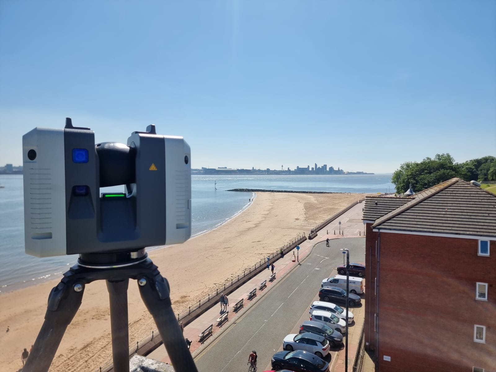
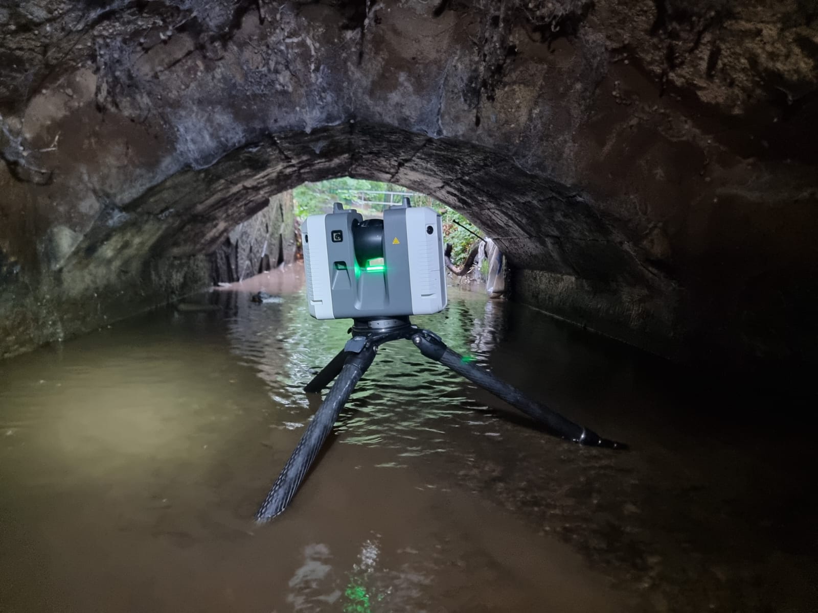
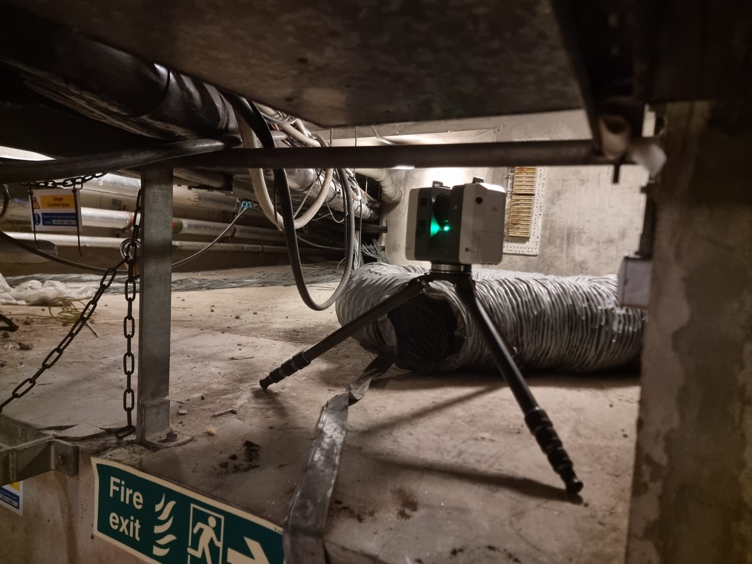
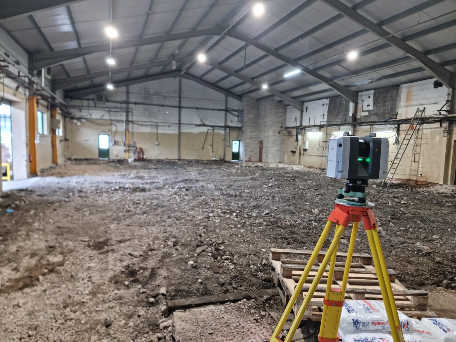
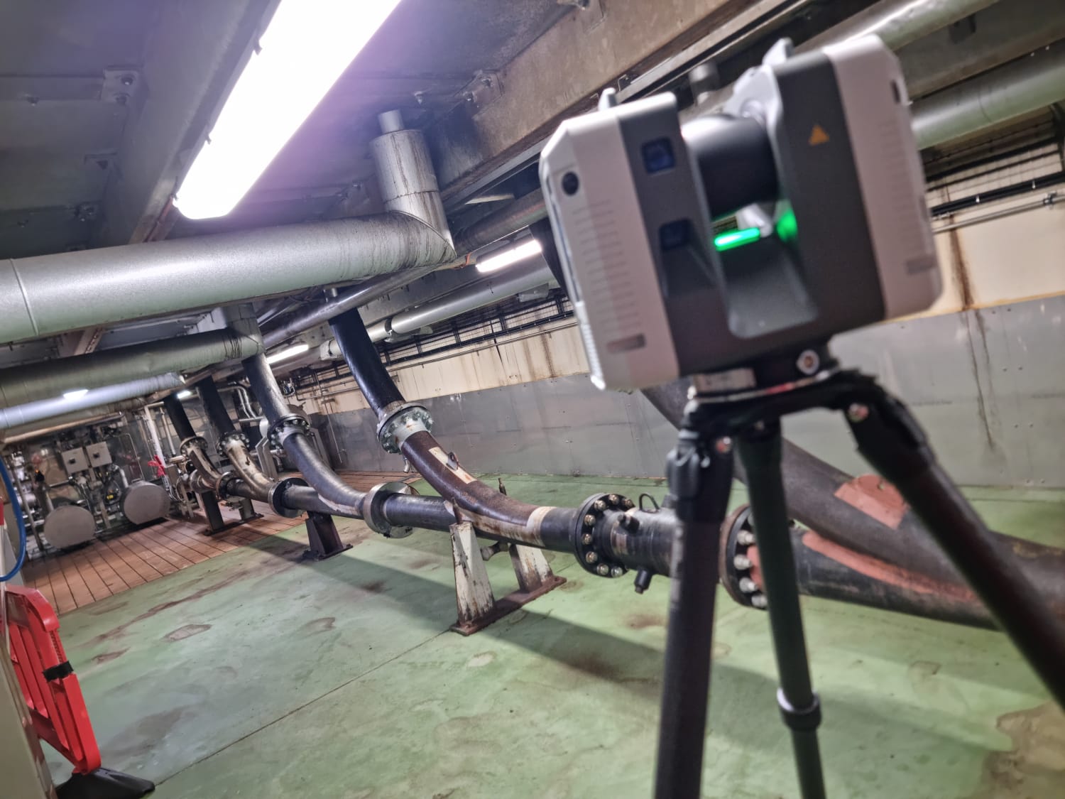
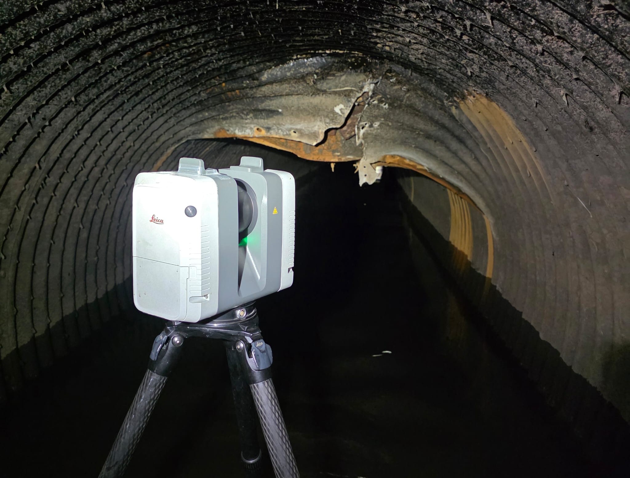
Laser Scanning for all of your Infrastructural Needs!
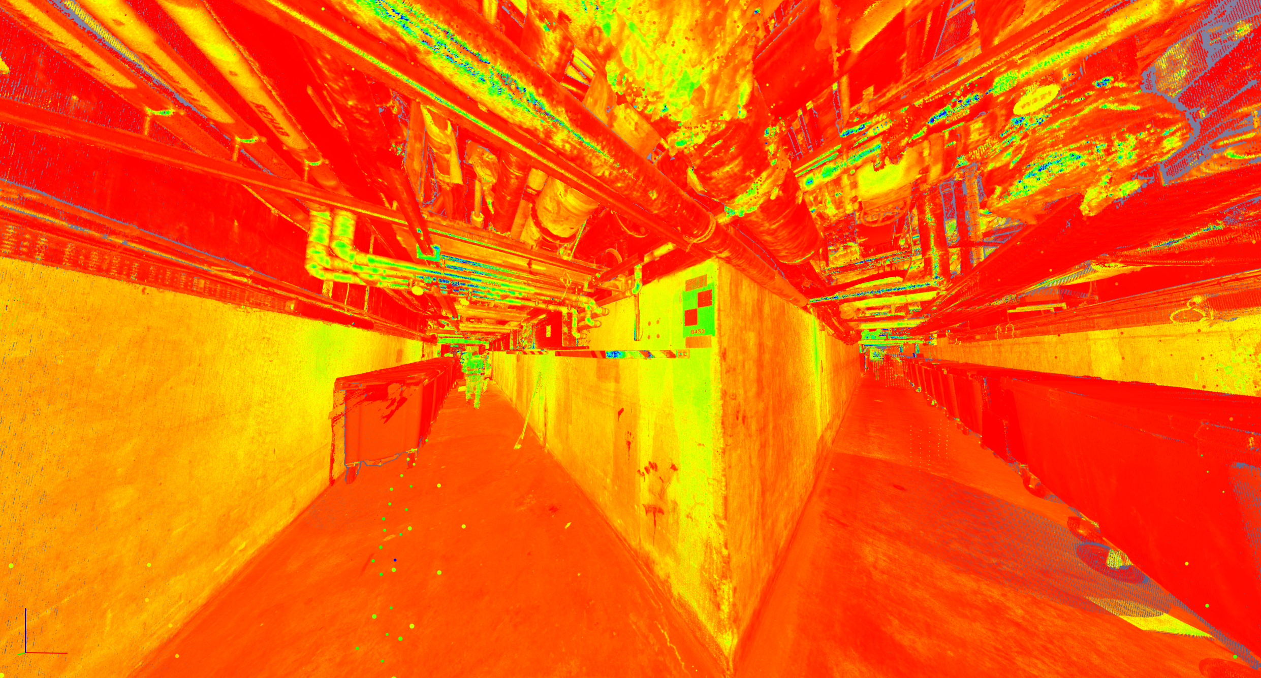
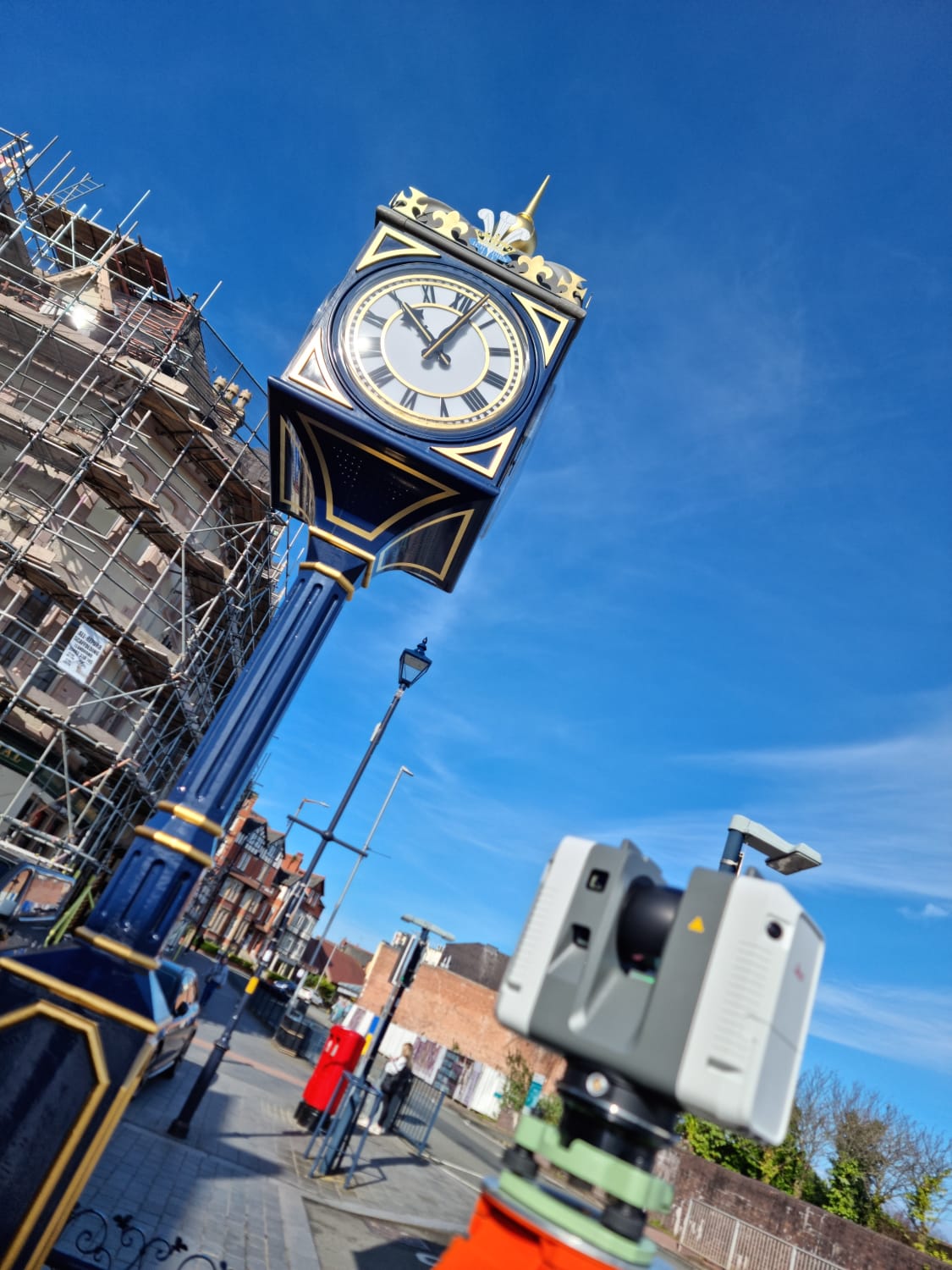
At the forefront of our survey data acquisition methods is the use of advanced laser scanning technology. This cutting-edge approach has become one of the primary reality capture techniques employed by Layer Surveys due to its unparalleled speed and accuracy.
Our laser scanning units are capable of recording millions of precise data points from each scan location. By using industry-leading software, our team then processes this raw scan data into robust 3D point cloud datasets. These high-quality point clouds serve as the foundation for producing the accurate and detailed drawings, models, and other deliverables required for each unique project.
The key benefits of Layer Surveys’ laser scanning capabilities include;
Key Features
⬢ Rapid data acquisition, reducing the time required on-site and minimising disruption to day-to-day operations.
⬢ Enhanced safety, as our surveyors can capture data without needing to access high-risk environments for extended periods.
⬢ Comprehensive 3D datasets with photorealistic visualisation capabilities, enabling virtual walkthroughs of inaccessible areas.
⬢ Seamless integration with industry-standard point cloud processing software.
⬢ Ability to gather high-resolution scans and targeted data for specific project requirements.
⬢ Comprehensive capture of all visible elements, eliminating the need for return site visits.
By harnessing the power of advanced laser scanning technology, Layer Surveys are able to deliver survey data of unmatched speed and precision to support our clients’ architectural, engineering, and construction projects across a diverse range of industries and environments.