-
Topographical Surveys

Do you need help with your project?
Add to the Topo Adventure!…
New home? Undertaking a major infrastructure project? We’re here to move your project forward.


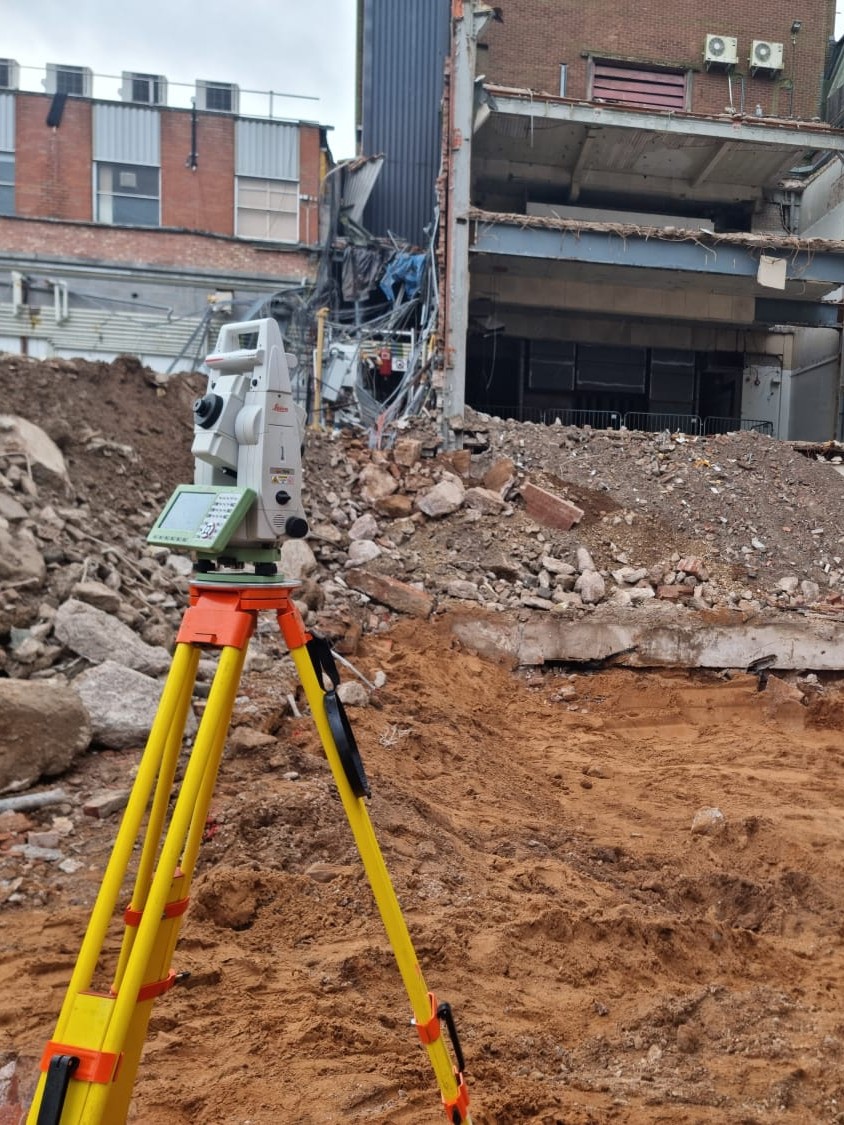
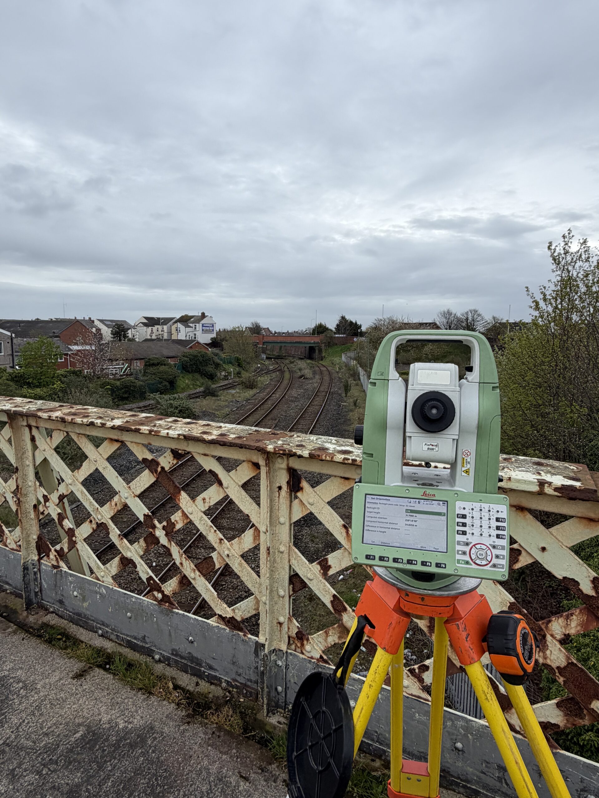
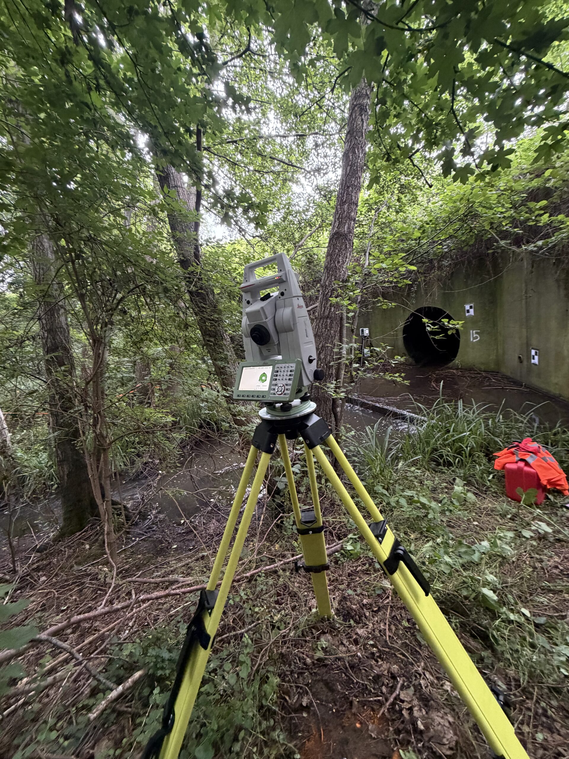
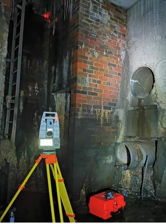
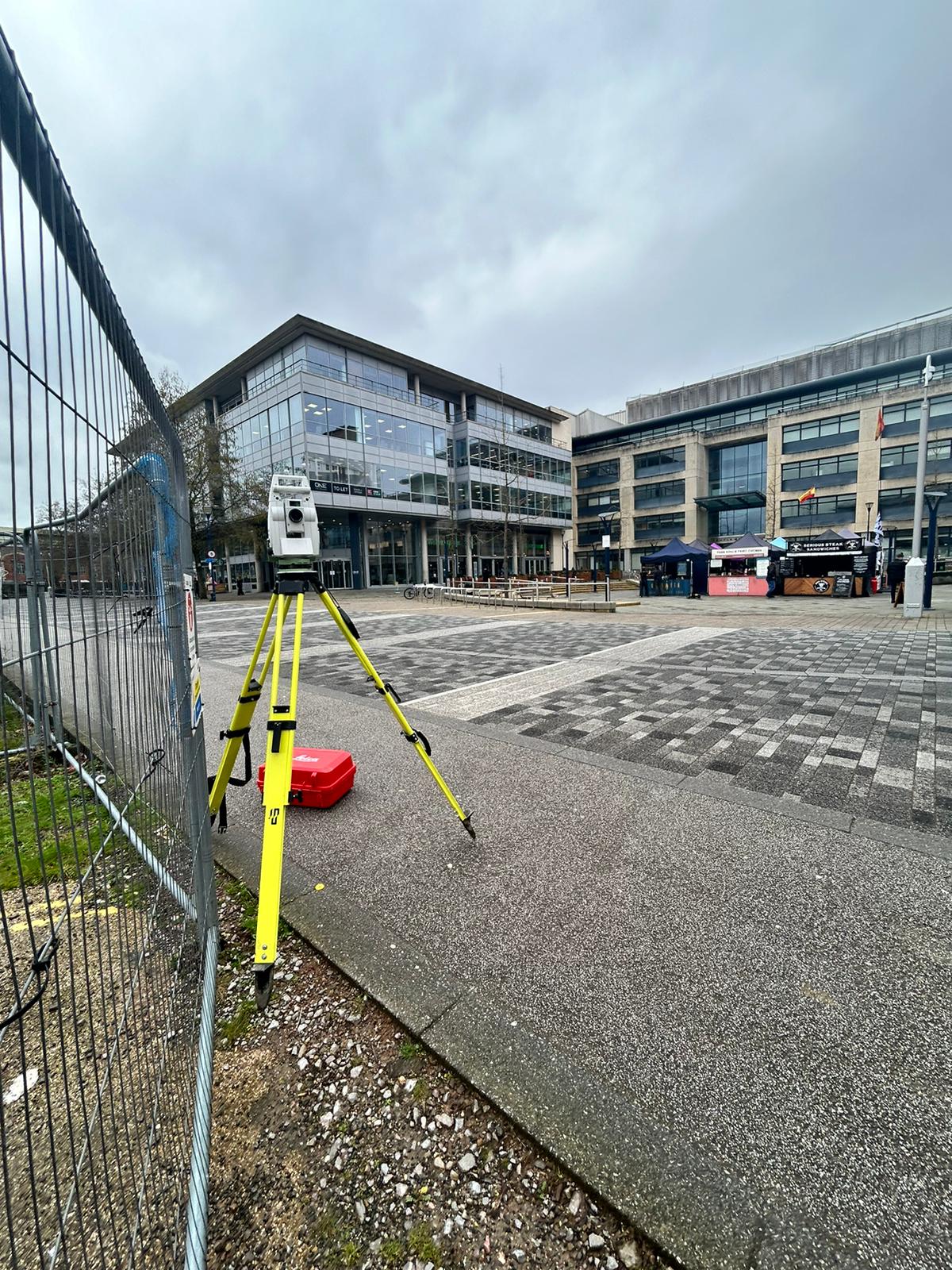
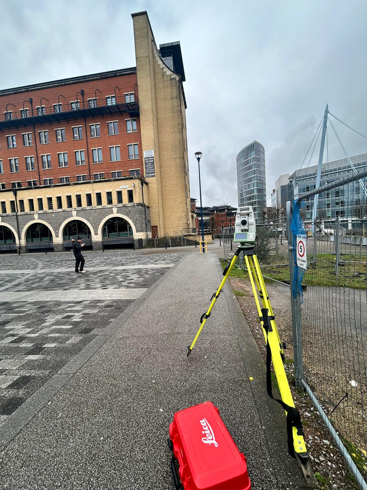
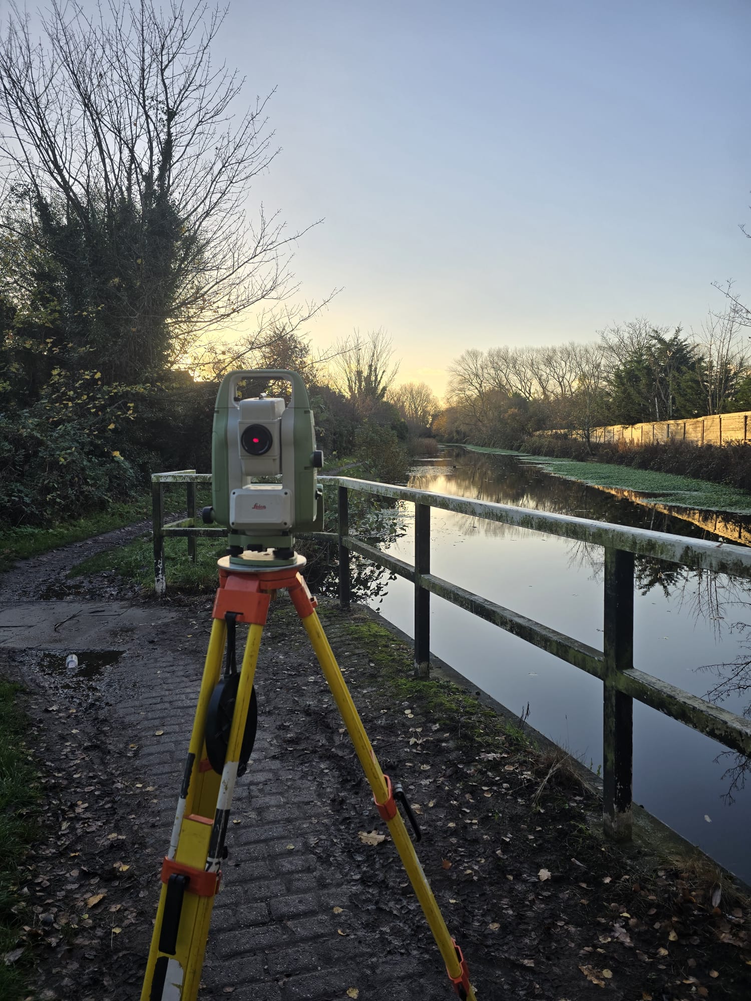
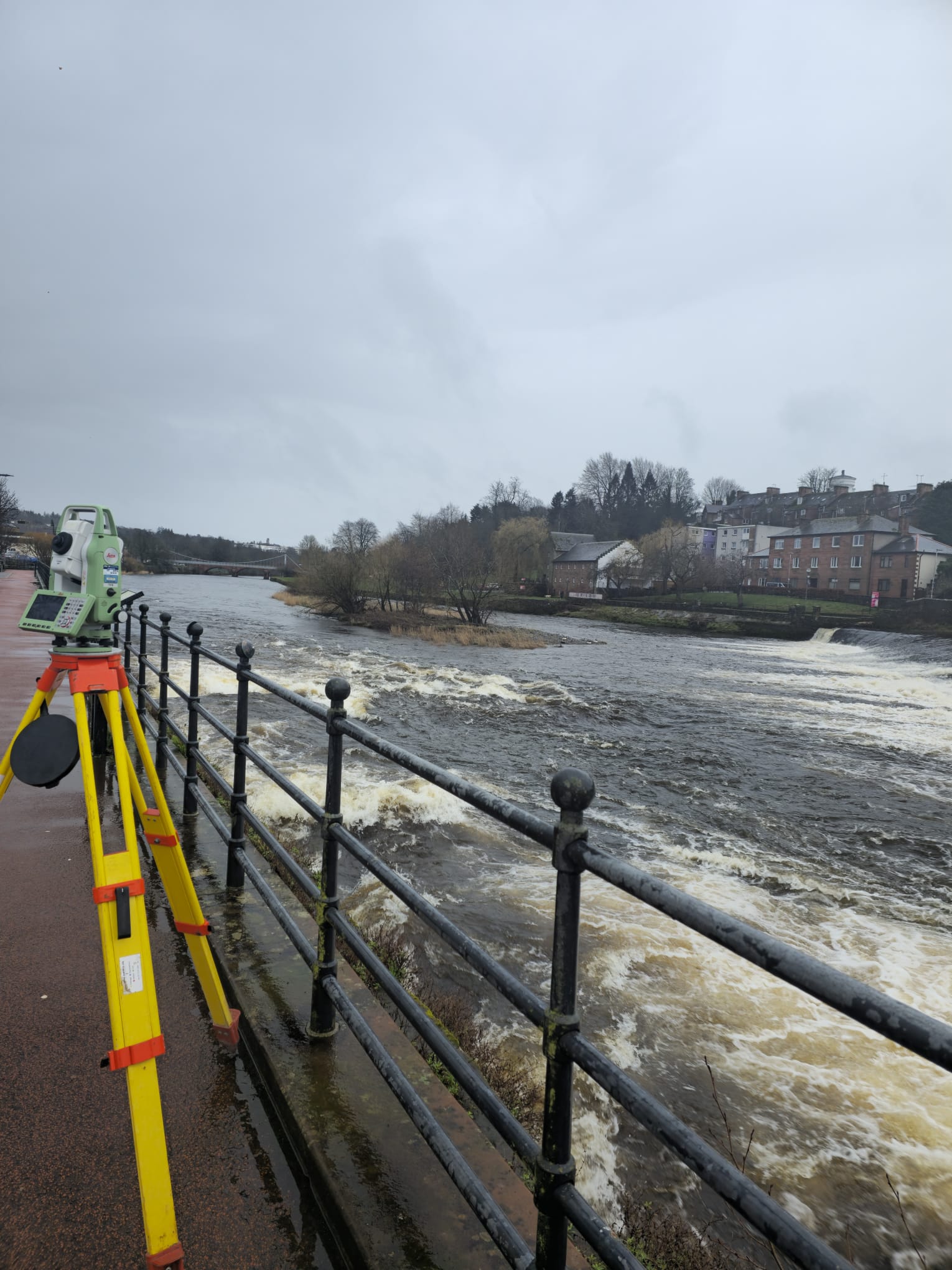
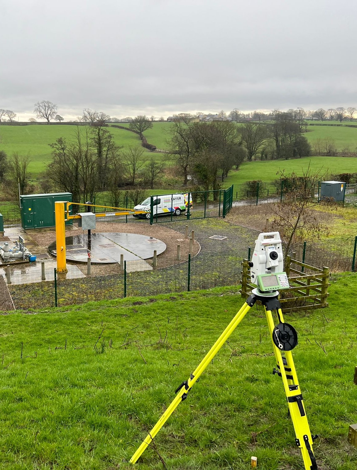
Layer Surveys provide comprehensive Topographical surveys that map the natural and built features of sites and areas. This survey data captures precise measurements and locations of elements like buildings, roads, utility fixtures, vegetation, contours, and boundaries – serving as a critical foundation for projects.
Key applications include site planning, construction layout, engineering assessments, environmental studies, and due diligence reporting. Accurate Topographical surveys enable informed decisions, regulatory compliance, risk mitigation, and streamlined execution for our clients.
⬢ Control Networks ⬢ Road Markings ⬢ Cut/Fill Calculations
⬢ Drainage ⬢ Setting Out ⬢ Land Registry
⬢ Contours ⬢ DTM Models ⬢ Culvert Assessment
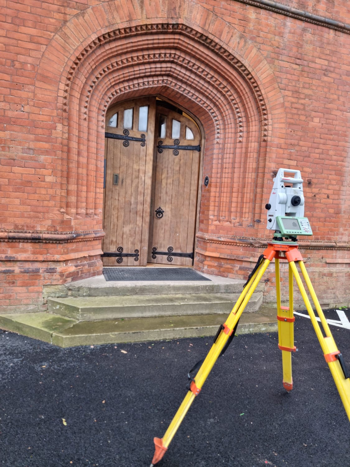
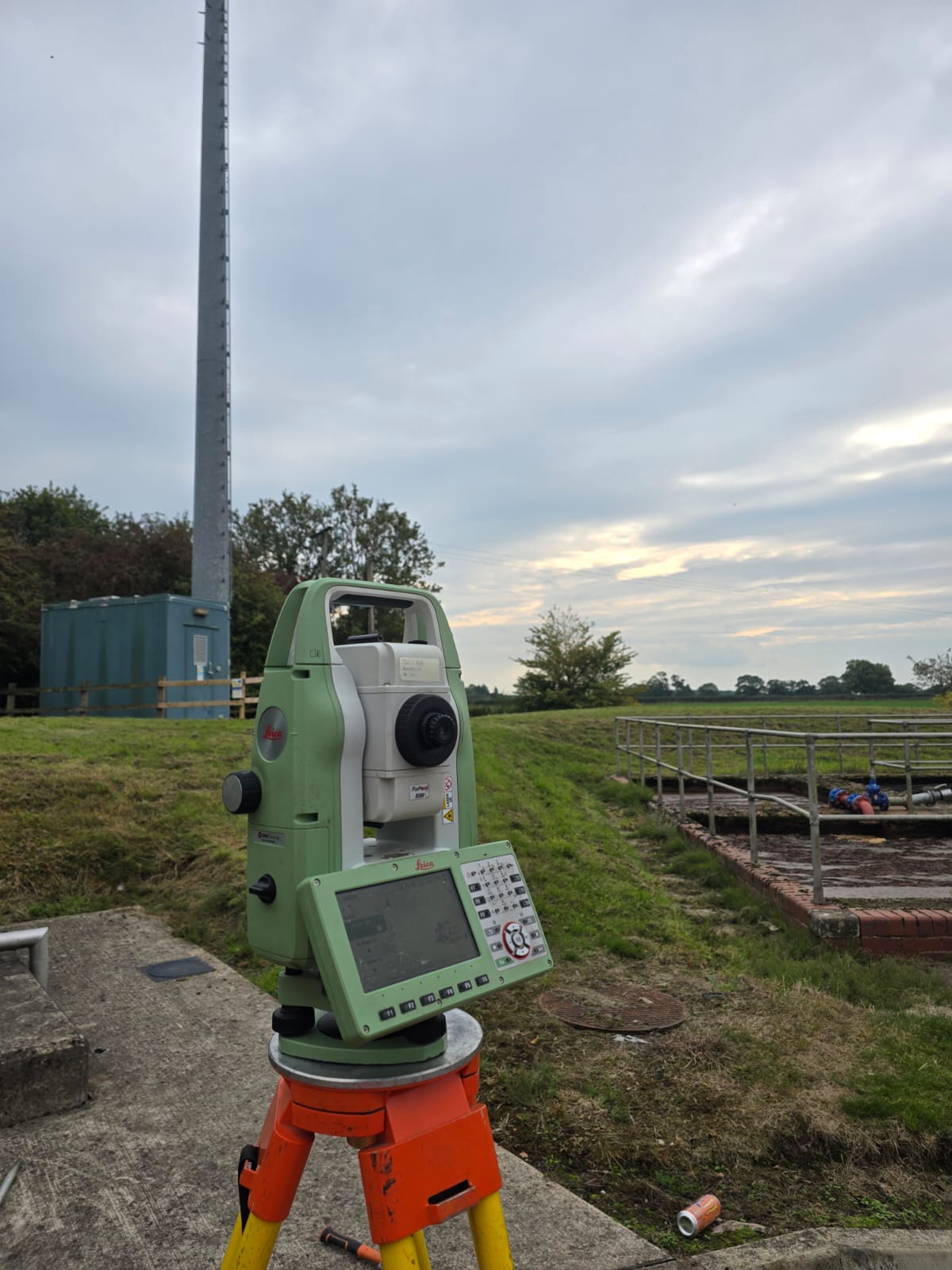
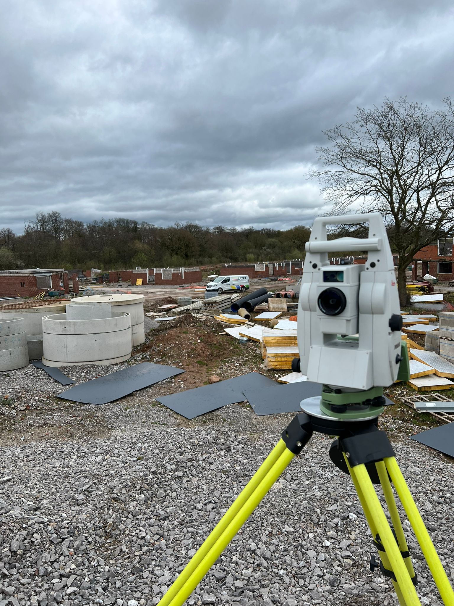
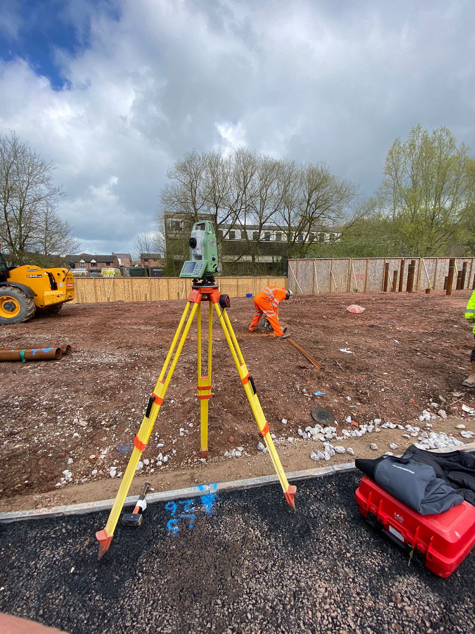
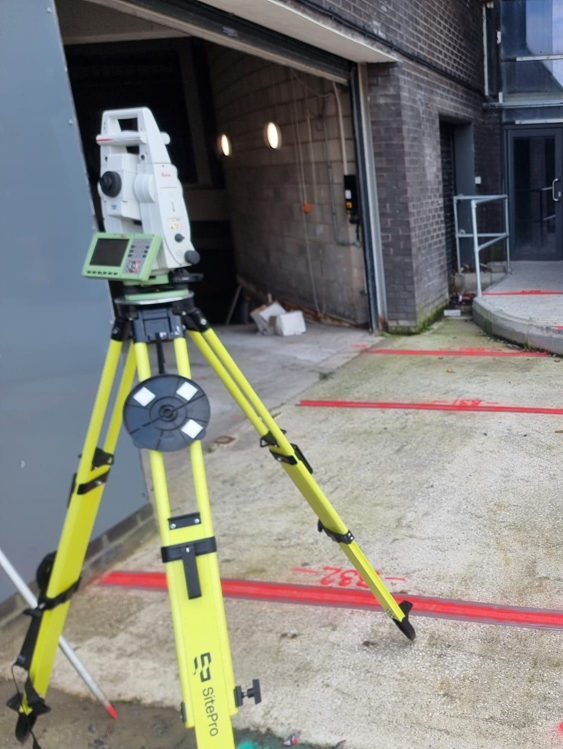
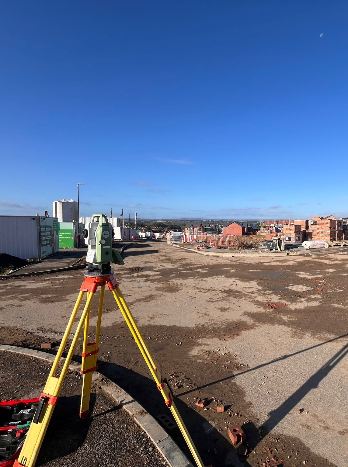
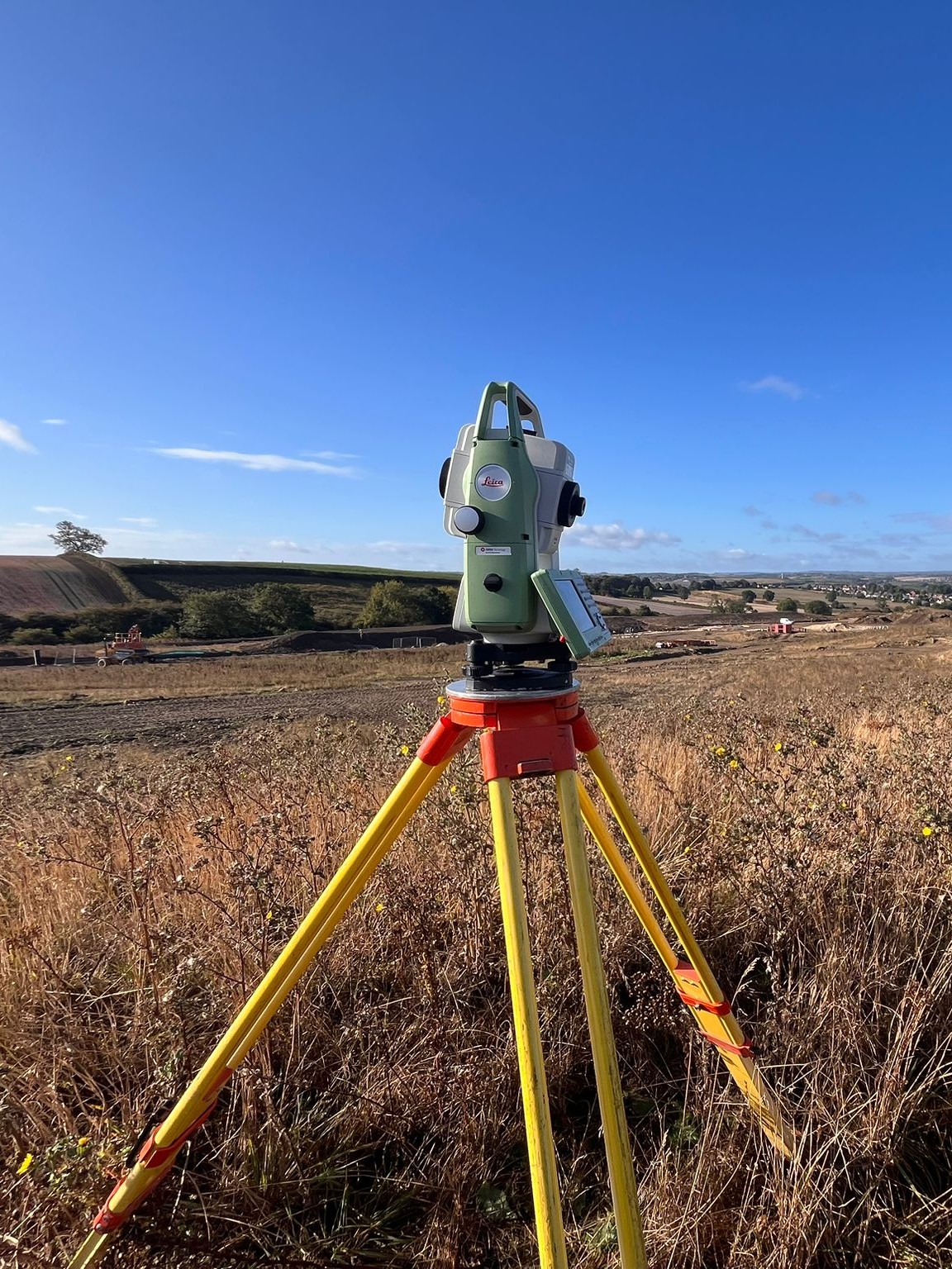
Our teams of experienced land surveyors use advanced equipment such as robotic total stations, GPS/GNSS, 3D laser scanners, and UAV technology – enabling rapid, high-precision data capture of spot elevations, surface models, utility markings, and photo documentation.
The survey data is processed into cohesive 3D digital terrain models using specialised software. From these DTMs, our CAD technicians extract 2D plan drawings, surface models, contours maps and other tailored deliverables as per client specifications.