-
Underground Utility Surveys

Do you need help with your project?
Providing accurate location of conductive and non-conductive services using non-invasive / no dig methods.

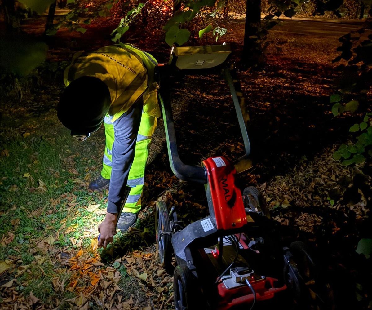
Utilising state-of-the-art GPR and EML equipment operated by our highly trained survey professionals, we are able to accurately pinpoint both conductive and non-conductive utilities underground. This thorough investigation provides detailed utility maps indicating the accurate horizontal and vertical positions of the pipes, cables, and other buried infrastructure.
By clearly mapping all subsurface utilities in advance, Layer Surveys enable clients and contractors to proceed with foreknowledge and confidence. Stakeholders can plan excavations, installations, maintenance work and other activities while avoiding the severe safety risks and costly consequences of accidental utility strikes.
When paired with our Topographical surveys, our utility mapping deliverables exceed industry standards to ensure uncompromising quality and reliability. Clients receive comprehensive utility survey data informing critical decisions across project construction, operations, and planning phases. All of our underground utility mapping services are compliant with the latest industry regulations.
⬢ Type A: This is undertaken to verify and position by physically locating the service. Methods would be by trial pits, cover lifting, man entry or excavation.
⬢ Type B: Utility survey undertaken using single or multiple methods to show and detect horizontal and vertical positions.
⬢ Type C: Utility service information taken from available stat records and plotted on a Topographical survey. This would be shown as schematic. Site reconnaissance completed to identify possible services on site with the findings added to a topographical survey.
⬢ Type D: Utility service information taken from available stat records and plotted on Topographical survey using the plotted position of all service covers found for best fit.