
-
Drainage Investigation (CCTV) Surveys

Do you need help with your project?
Bringing you the very best in sewer surveying technology.
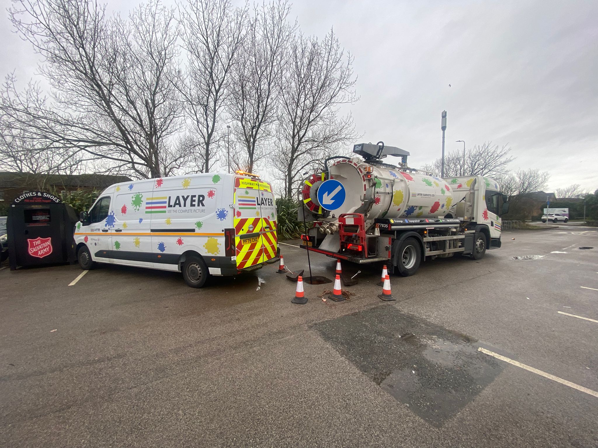
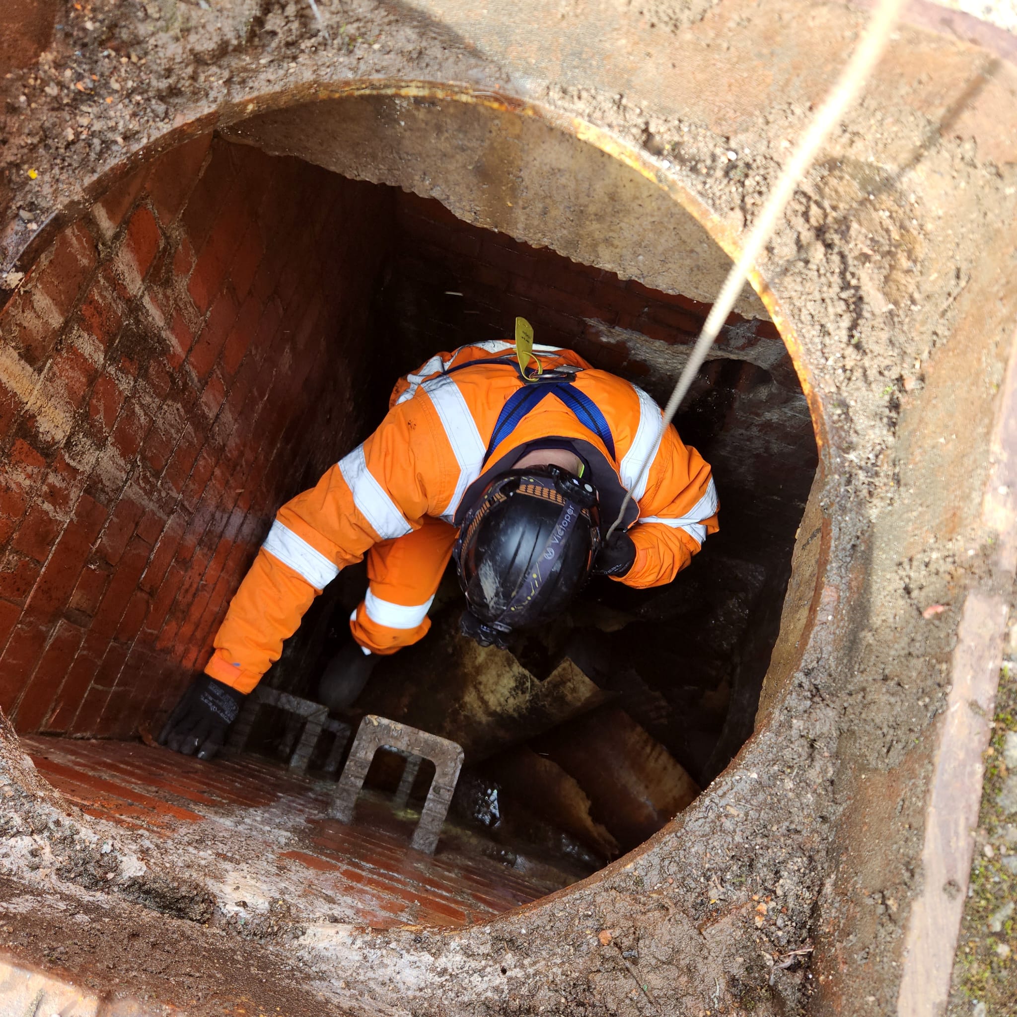
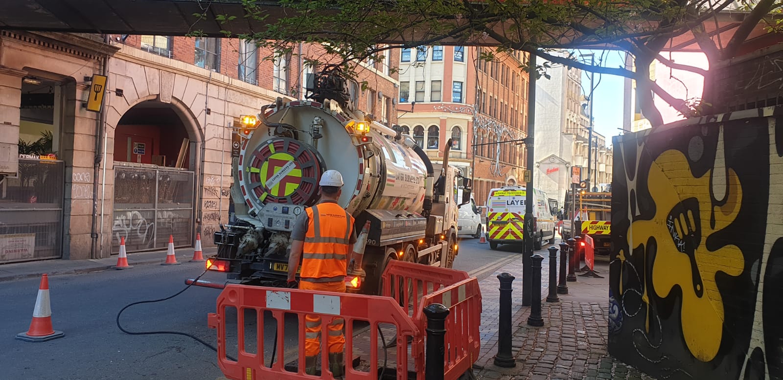
Layer Surveys Ltd have invested heavily in industry-leading sewer surveying technology to deliver accurate, high-quality CCTV drainage investigations. Working with iPEK Pipeline Inspection Systems, our specialist CCTV units provide detailed inspections of drainage assets across commercial, industrial and domestic environments.
Our CCTV systems can inspect pipelines from 100mm to 2200mm in diameter and travel up to 600 metres from a single access point. Equipped with high-definition pan and tilt cameras and 10x optical zoom, we are able to identify even the smallest defects whilst carrying out detailed visual inspections. The adaptable configuration of our crawler systems allows us to maximise visibility and image quality across a wide range of pipe sizes and conditions.
Key Features
⬢ STC25 Manhole Cards ⬢ GPS Levelling ⬢ HD Video Capture
⬢ Mobile CCTV Systems ⬢ Real-Time Viewing ⬢ Digitised Plans
⬢ Asset Surveys ⬢ Drain Tracing ⬢ Culvert Assessment
All CCTV survey vehicles operate as fully integrated mobile offices, enabling engineers to complete coding as data is captured on site. Significant structural defects can be communicated directly to clients throughout the survey, allowing informed decisions to be made without delay.
Survey reports are produced using the latest WinCan software and can be supplied electronically or in hard copy format. Our surveyors are trained to a minimum OS19X Pipe Sewer Condition Classification standard, with all reports completed in accordance with the WRc Manual of Sewer Classification.
Drainage Mapping Services
- Manhole Surveys
- Conventional Levelling
- Specialised Asset Surveys e.g. CSO’s
- GPS Levelling/Locations
- Tracing and Mapping of Private and Public Drains
and Sewers - Impermeable and Drainage Area Studies
- Easement
Sewer mapping is the process of collecting information on existing sewer and drainage systems. This information is critical to design engineers who may be looking to upgrade existing systems, solve flooding problems or diverting existing watercourses. The data collected can then be used to build hydraulic models which are able to simulate the flow rate, storage capacity and discharge of existing systems.