
-
Measured Building Surveys
Do you need help with your project?
We work closely with you, the client, to provide you with a tailored service that matches your precise needs
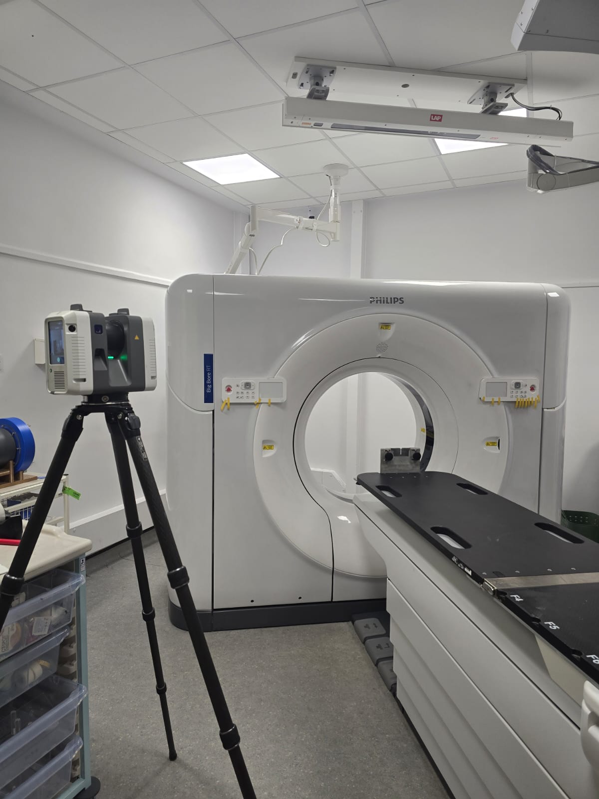
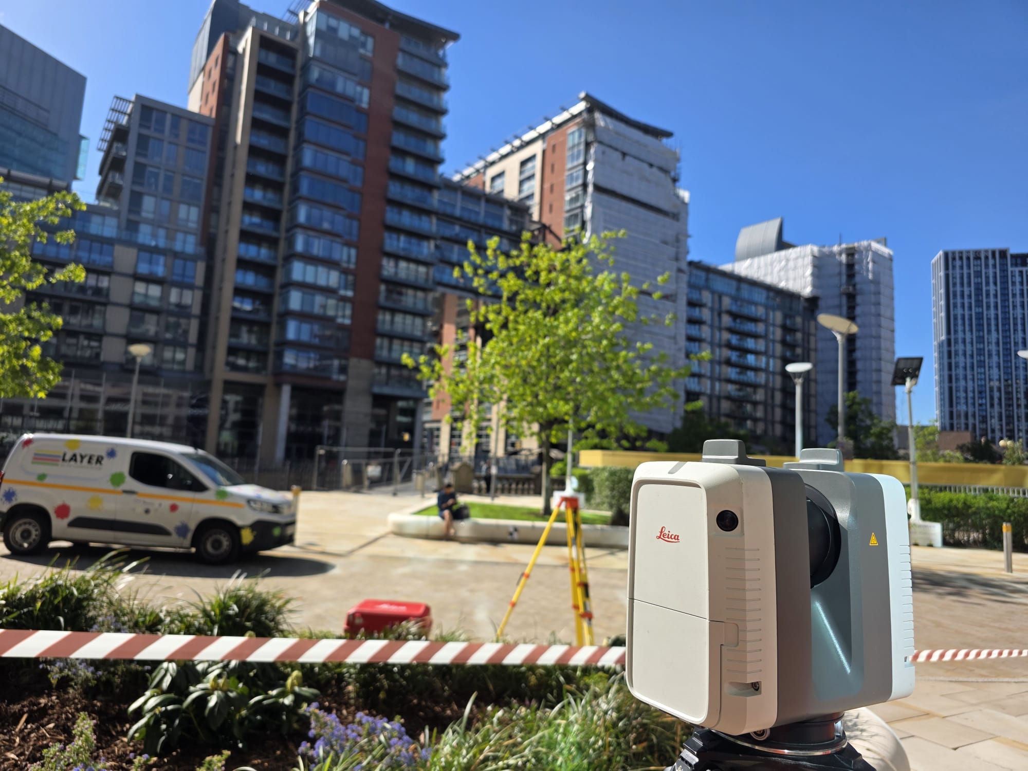
Layer Surveys use the latest in laser scanning technology to bring the site into the office. Our experienced site surveyors employ state-of-the-art laser scanners to capture comprehensive 3D datasets of building interiors and exteriors with unparalleled efficiency and precision. This laser scanning process allows us to gather highly accurate spatial information about a property or structure.
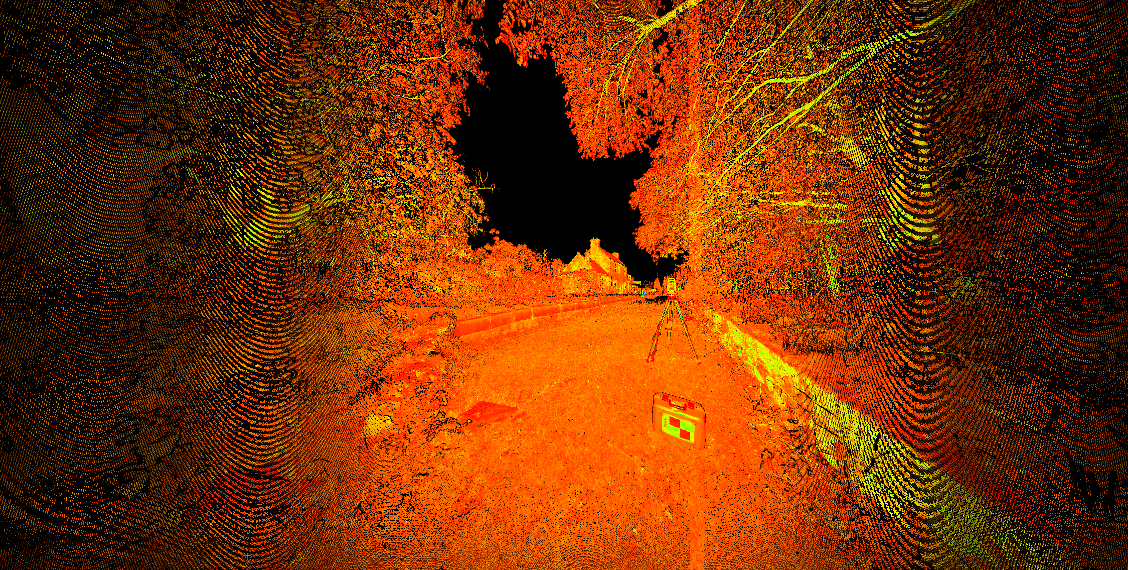
The raw data collected by our field surveyors is then meticulously processed by our skilled CAD technicians. This data generates a high definition 3D point cloud, which serves as the foundation for producing a wide range of tailored deliverables for our clients. Utilising specialised CAD software such as AutoCAD, our drafting team can generate accurate, to-scale 2D drawings from the point cloud data.
The versatility of our laser scanning approach empowers our clients to leverage the survey data in a variety of ways to support their architectural, construction, and facilities management needs. The comprehensive survey deliverables provided by Layer Surveys include;
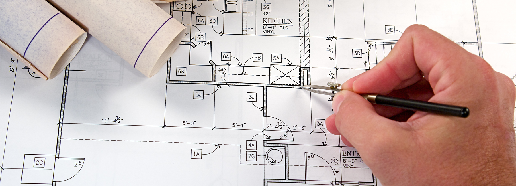
Floor plans:
- Walls, both structural and partition
- Doors, including swing and height
- Windows, including recess depth, mullion position and height
- Staircases, steps, ramps and lifts
- Overhead detail such as ceiling changes, beams, skylights and access hatches
- Sanitary & Kitchen fittings including fitted units with description
- Boxing
- Plant & main services
- Room Use descriptions
- Levels, on all floors and further key levels on overhead features such as suspended ceilings, structural ceilings and beams
- Advanced specification examples: Switches & sockets; Lighting positions; Radiators; Desk, chair & office equipment; exposed pipework and trunking; Air conditioning and vent panels; direction span of floorboards; wall/floor/ceiling finishes; skirting & coving.
Elevations:
- Building outlines & ground profile
- Door & fenestrations details (indicative frame, glazing, mullions, transoms, panelling, letterbox and handles)
- Decorative features such as: string courses, quoins and Bas relief
- Furniture such as: signage, plaques, lighting, vents, flues, RWP’s, SVP’s, VP’s, Alarms, CCTV and satellite dishes/aerials
- Roof details such as: chimneys, skylights, dormer windows and plant machinery • Annotation of materials
- Level annotation on key points such as, ridges, eaves, and ground lines
- Floor levels
- Advanced specification examples: Damp proof courses; precise door & window details, minor pipes & cables; photographs; stone for stone recording