
-
Drone / UAV Surveys
Do you need help with your project?
Accurate Drone Surveys, One call away!
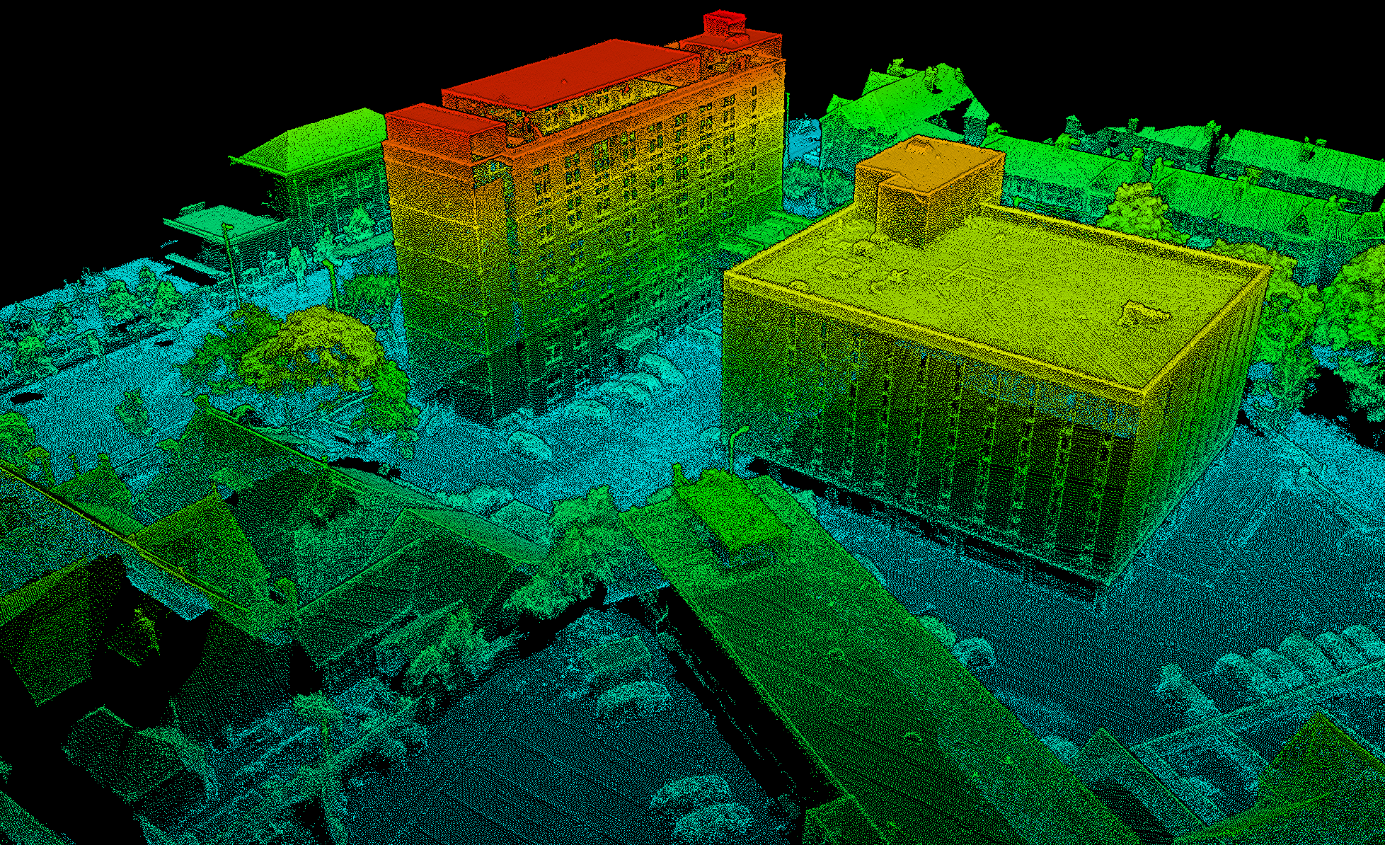
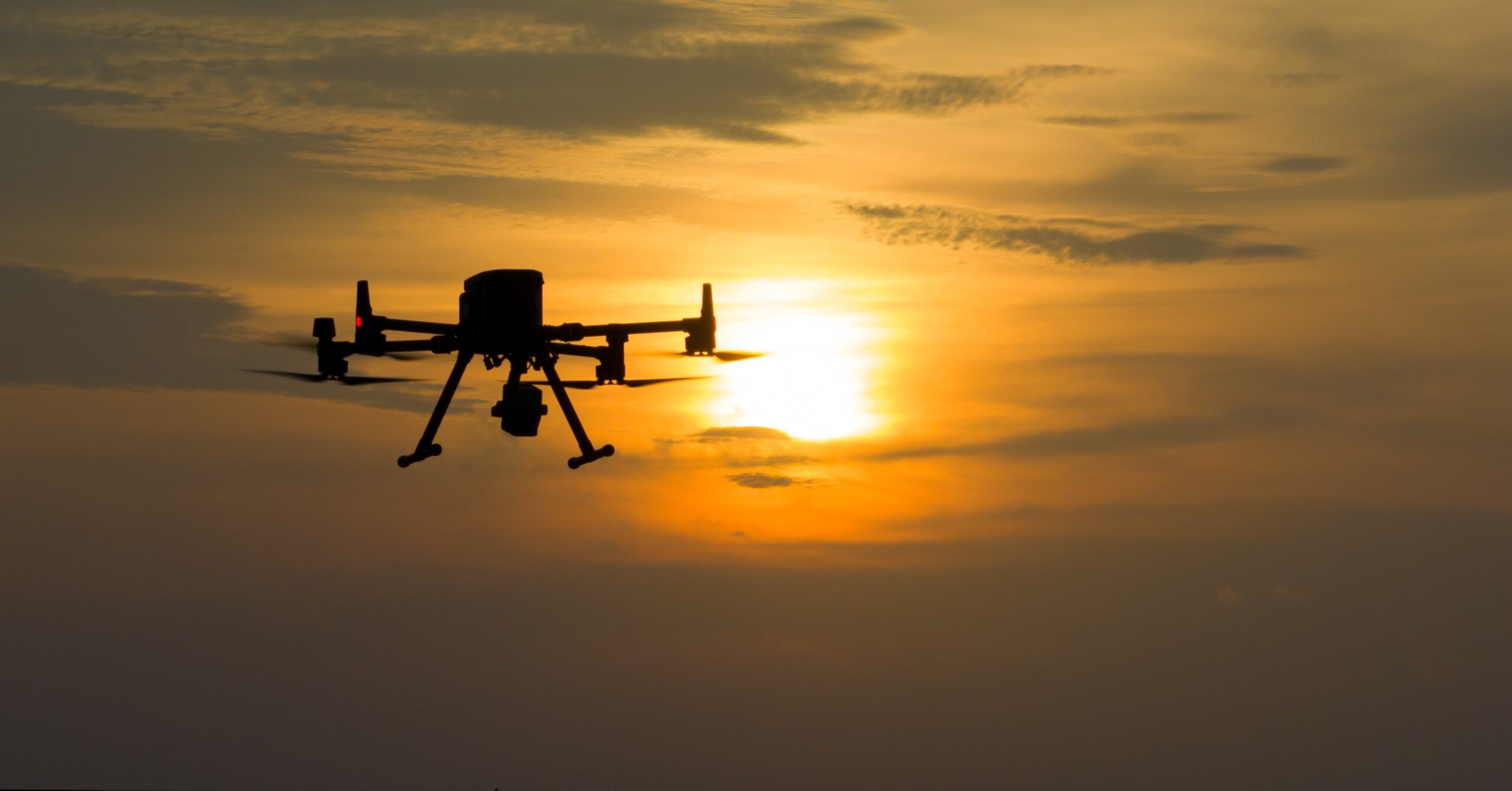
Drones can be equipped with a variety of sensors, including high-definition cameras, LIDAR sensors (Laser Scanning), Thermal Imagery, and others, depending on the specific requirements of the task at hand.
Drone Deliverables:
⬢ Volumetric Surveys ⬢ Lidar Data Sets
⬢ Roof Plans ⬢ Thermal Imagery
⬢ Bridge Deck and Support Inspections ⬢ Orthomosaic Imagery
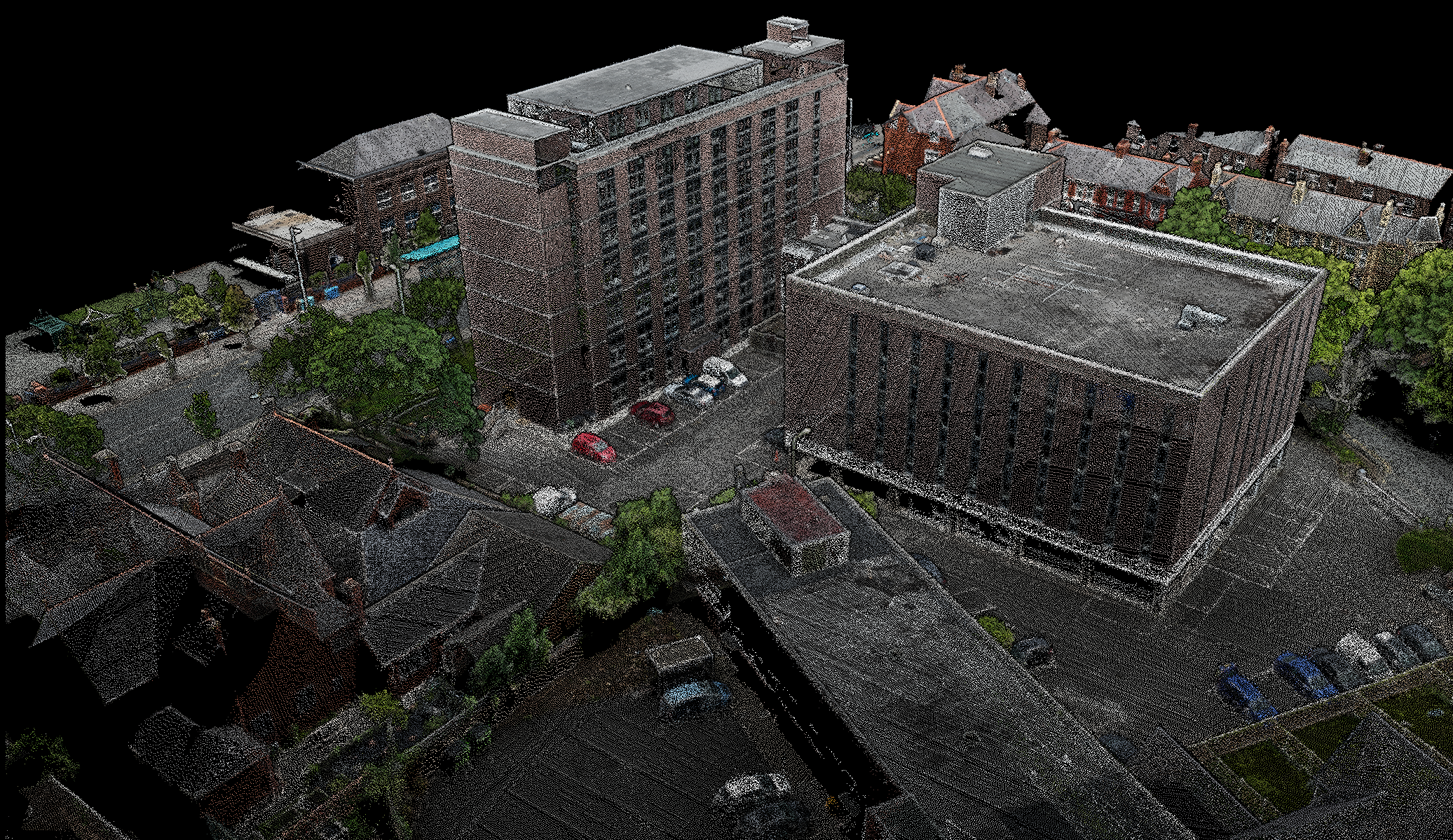
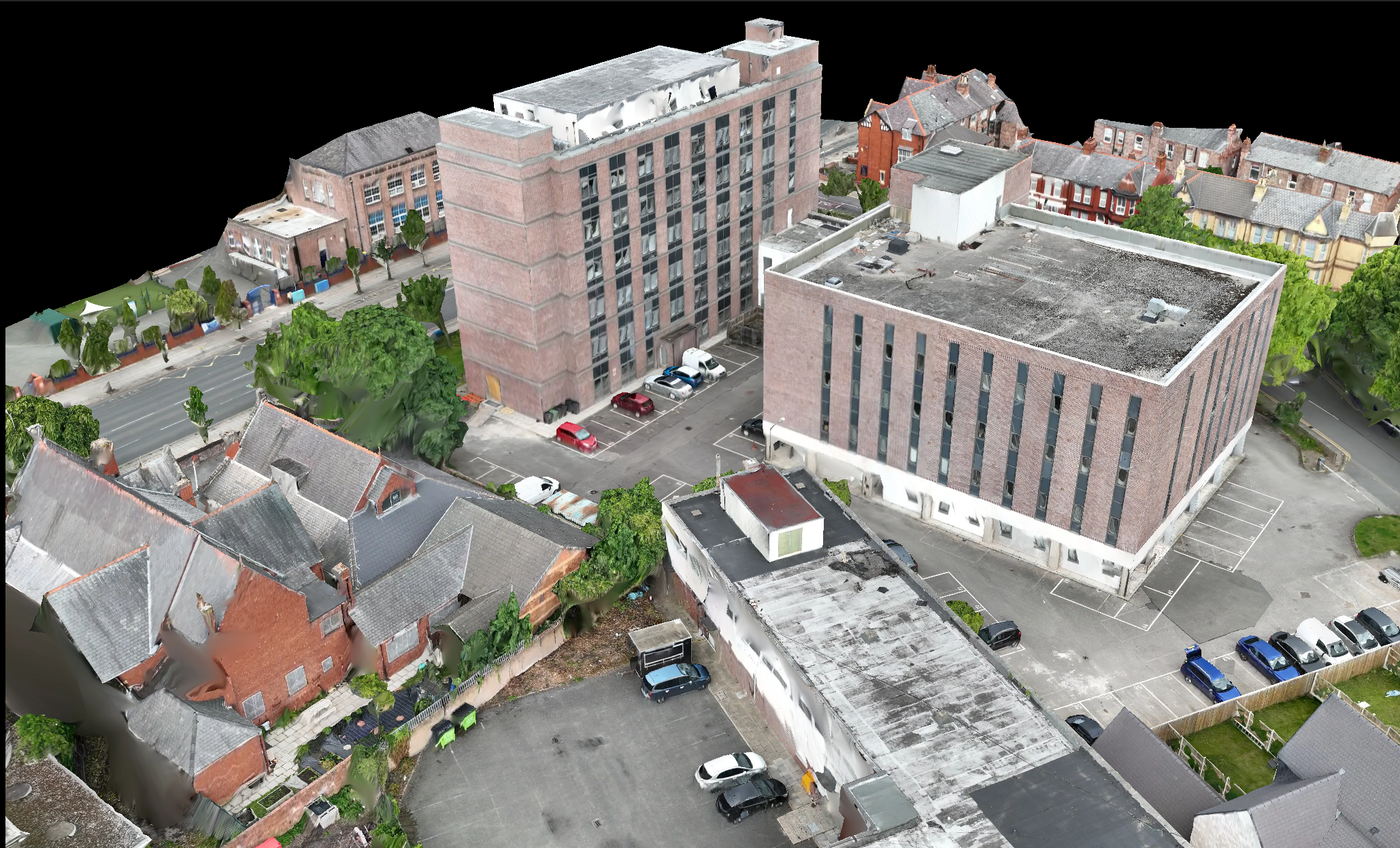
Specialised software employs photogrammetry to produce a precise 3D representation of the surveyed area in the form of a point cloud. Our in-house CAD team will then refine and process this data to meet project specifications.
UAV surveys are the ideal solution for capturing large amounts of data much more quickly than traditional methods, with the benefit of being safer and less intrusive. With fewer boots on the ground for shorter periods many health and safety concerns are mitigated, while inconveniences are significantly reduced.
Common Applications
- Topographical Surveys
- Stockpile Volume Calculations
- Construction Progress Monitoring
- Roof Inspections
- Bridge & Structure Inspections
- Thermal Surveys
- Asset Management
- Orthomosaic Mapping